

























Cyclone Akvan Crosses Odisha Coast Near Gopalpur; Landfall Completed with Winds Up to 90 kmph
Cyclone Akvan completes landfall near Gopalpur on the Odisha coast with winds of 70–80 kmph gusting to 90 kmph. IMD forecasts extremely heavy rainfall, strong winds and rough seas as the storm weakens over Odisha.
Cyclone Akvan Crosses Odisha Coast Near Gopalpur; Landfall Completed with Winds Up to 90 kmph
CNB WORLD TIMES
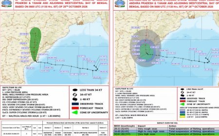
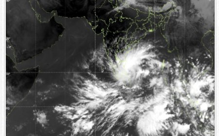
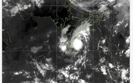
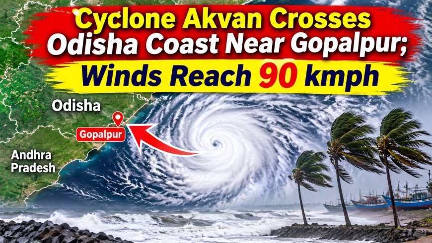
Bhubaneswar, November 20, 2026: Cyclonic Storm ‘Akvan’ has crossed the north Andhra Pradesh and south Odisha coasts close to Gopalpur, marking the completion of its landfall process. The cyclone crossed the coastline between 7:30 AM and 8:30 AM IST on Friday, November 20, with sustained wind speeds of 70–80 kmph and gusts reaching up to 90 kmph, according to the India Meteorological Department (IMD).
The system crossed the coast near latitude 19.1°N and longitude 84.8°E, close to Gopalpur in Odisha. At 8:30 AM, the cyclone was centred over south coastal Odisha and adjoining north coastal Andhra Pradesh, near Gopalpur.
The cyclone had weakened from a Severe Cyclonic Storm into a Cyclonic Storm at 2:30 AM on Friday before crossing the coast. It is now likely to move north-northeastwards across Odisha and weaken into a Deep Depression within the next three hours, followed by further weakening into a Depression during the subsequent six hours.
Extremely Heavy Rainfall Recorded in Odisha
The cyclone has triggered intense rainfall across several parts of eastern India. According to IMD, extremely heavy rainfall exceeding 21 cm was recorded at isolated places in Odisha during the 24 hours ending at 8:30 AM on November 20.
Very heavy rainfall of 12–20 cm was recorded in Coastal Andhra Pradesh, while heavy rainfall of 7–11 cm occurred in parts of Gangetic West Bengal and Tripura.
The IMD has forecast isolated very heavy rainfall over Odisha on November 20. Fairly widespread to widespread rainfall is also expected across the state on Friday, with isolated rainfall likely to continue from November 21 to 23.
Wind Speed and Sea Conditions to Improve Gradually
Strong winds and rough sea conditions are prevailing over the affected coastal areas. Along and off the south Odisha coast, gale winds of 60–70 kmph, gusting up to 80 kmph, are prevailing. These winds are expected to gradually weaken into squally conditions of 40–50 kmph, with gusts up to 60 kmph, by Friday evening.
Similar strong winds are prevailing along the north Andhra Pradesh coast. Squally winds of 45–55 kmph, gusting up to 65 kmph, are also expected along the north Odisha and West Bengal coasts until Friday evening.
The sea condition over the northwest Bay of Bengal is likely to remain high for the next three hours before gradually improving to very rough to rough conditions by evening. Conditions over the westcentral Bay of Bengal and adjoining coastal areas are also expected to improve gradually.
Fishermen Advised Against Venturing into Sea
The IMD has advised fishermen not to venture into the westcentral Bay of Bengal until the night of November 20 and into the northwest Bay of Bengal until the morning of November 21 due to prevailing rough sea conditions and strong winds.
Rainfall Forecast Across Several States
Apart from Odisha, several states are likely to experience rainfall, thunderstorms and gusty winds over the coming days.
Chhattisgarh is likely to receive heavy rainfall on November 20 and 21, accompanied by thunderstorms and gusty winds reaching 40–50 kmph, with gusts up to 60 kmph.
Gangetic West Bengal and Jharkhand may also experience widespread rainfall, thunderstorms and gusty winds on November 20 and 21. Isolated very heavy rainfall is likely over these regions on November 20.
Rainfall activity is also expected over parts of Bihar, northeastern states, Tamil Nadu, Kerala, Coastal Andhra Pradesh and Karnataka during the coming days.
The IMD has further warned of dense fog over Punjab, Haryana, Chandigarh and Delhi between November 20 and 22, and over Uttar Pradesh on November 22 and 23.
With Cyclone Akvan having crossed the coast near Gopalpur, the weather system is expected to gradually weaken while moving inland across Odisha. However, heavy to very heavy rainfall and strong winds may continue in some areas during the next few hours.
Odisha
· Patrapur: 209 mm
· Hinjili: 207 mm
· Chikiti: 199 mm
· Gopalpur: 190 mm
· Chhatrapur: 139 mm
· Chandbali: 119 mm
· Tihidi: 100 mm
· Kujanga: 97 mm
· Paradeep: 93 mm (earlier reports also noted 84 mm)
· Puri: 79 mm (earlier reports also noted 73 mm)
Andhra Pradesh
· Ichchapuram: 168.75 mm
· Arakabadra: 162.50 mm
· Kanchili: 148.50 mm
· MS Pally: 146.25 mm
· Korlam: 128.75 mm
What's Your Reaction?