


Low Pressure over Gangetic West Bengal Triggers Widespread Heavy Rainfall Across Eastern and Central India
Low Pressure over Gangetic West Bengal Triggers Widespread Heavy Rainfall Across Eastern and Central India
CNB World Times
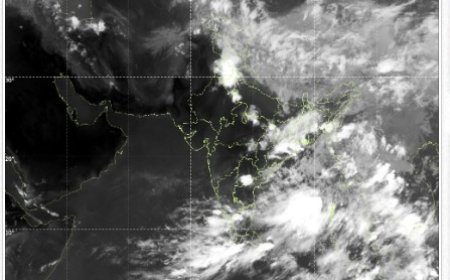
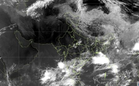
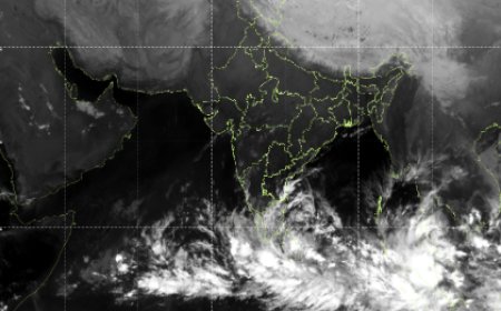
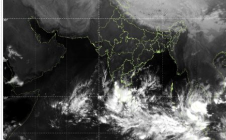
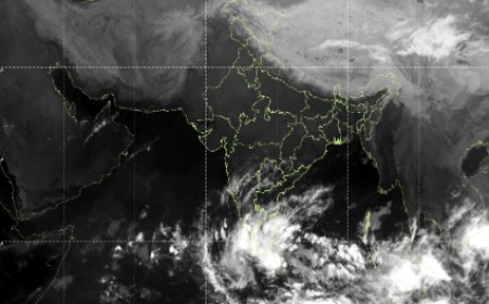
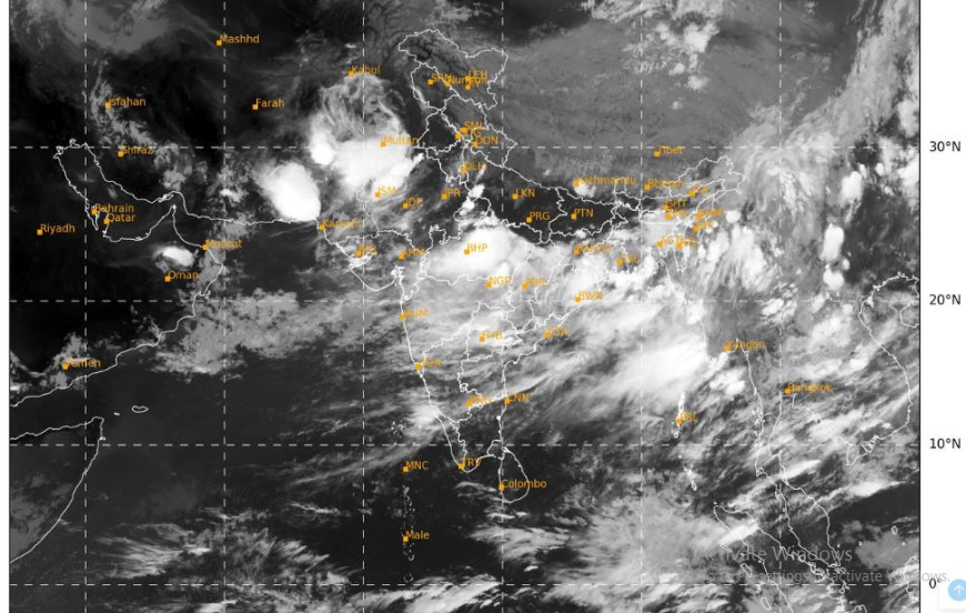
Kolkata, July 6, 2025 — A low-pressure area has formed over Gangetic West Bengal and its neighbouring regions, setting the stage for widespread rainfall activity across eastern and central India. According to the India Meteorological Department (IMD) and corroborated by international meteorological models, the system is expected to move west-northwestwards over the next 2–3 days, traversing Jharkhand and northern Chhattisgarh.
The monsoon trough currently lies close to its normal position, supporting the development of this low-pressure system. Adding to the atmospheric instability is an upper-air cyclonic circulation over Himachal Pradesh and adjoining Punjab, and another circulation over Nagaland and adjoining Myanmar. An east-west shear line, stretching from the northeast Arabian Sea to Gangetic West Bengal, intersects multiple regions including Gujarat, Madhya Pradesh, Chhattisgarh, and Jharkhand, enhancing convective activity.
The evolving weather pattern is expected to bring heavy to extremely heavy rainfall to several states:
· Odisha: Isolated extremely heavy rainfall (≥21 cm) is likely on 6th July, with continued heavy rain forecast through 12th July.
· Chhattisgarh: Expect extremely heavy downpours on 6th and 7th July, particularly over northern districts.
· Vidarbha: Heavy to very heavy rainfall is likely during 6th–8th July, with extremely heavy showers expected on 7th July.
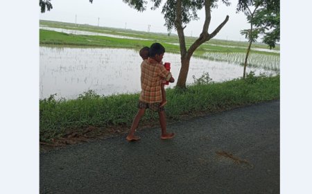
· Jharkhand and Gangetic West Bengal: Heavy to very heavy rainfall is predicted on 6th and 7th July, with a high flood potential in low-lying areas.
· Madhya Pradesh: A prolonged spell of heavy to extremely heavy rainfall is anticipated through 10th July, with West MP under a red alert for 8th–9th July, and East MP for 7th–8th July.
Accompanying the rainfall, thunderstorms, lightning, and gusty winds (30–40 km/h) are likely across these regions. East Madhya Pradesh may experience intense lightning activity on 6th July. The IMD has issued alerts for potential waterlogging, flash floods, and damage to infrastructure due to lightning and strong winds.
Global Model Confirmation
International meteorological centres such as the European Centre for Medium-Range Weather Forecasts (ECMWF) and the US National Weather Service (NWS) indicate sustained monsoonal dynamics and convergence over East India. These observations align with India’s forecasts and confirm the potential for high-impact weather over the next week.
Residents in the affected areas are advised to stay indoors during intense rainfall, avoid waterlogged zones, and follow instructions from local disaster management authorities. Fishermen are advised not to venture into the Bay of Bengal due to rough sea conditions.
What's Your Reaction?